Whistlepipe Gully Walk
3.4 km, moderate walk
The rules at a glance
On-lead welcome
Verified dog-friendly with Department of Biodiversity, Conservation and Attractions (DBCA) - Parks and Wildlife Service
Forrestfield, WA 6058
Rules verified 26 July 2026
- Dogs
- Welcome
- Where
- Forrestfield, WA
- Policy checked
- 2026-07-26
What visitors mention
Pet policy
Dogs are welcome on lead. Policy confirmed with Department of Biodiversity, Conservation and Attractions (DBCA) - Parks and Wildlife Service.
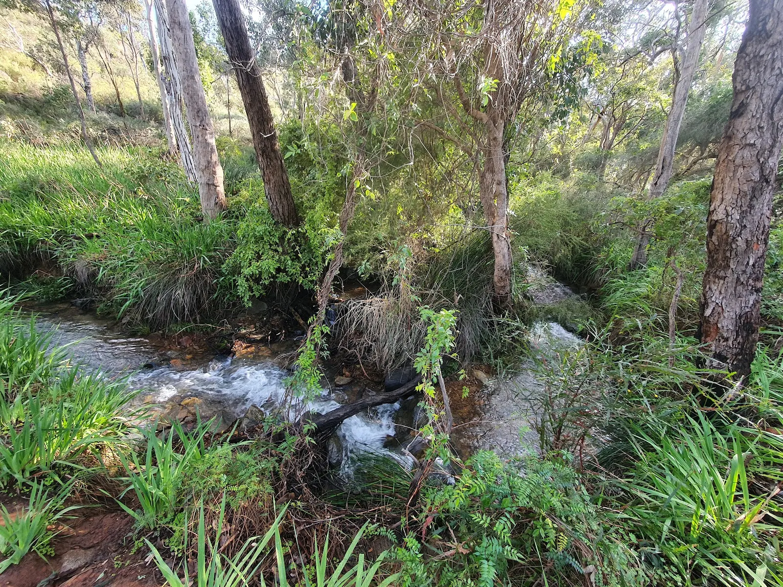
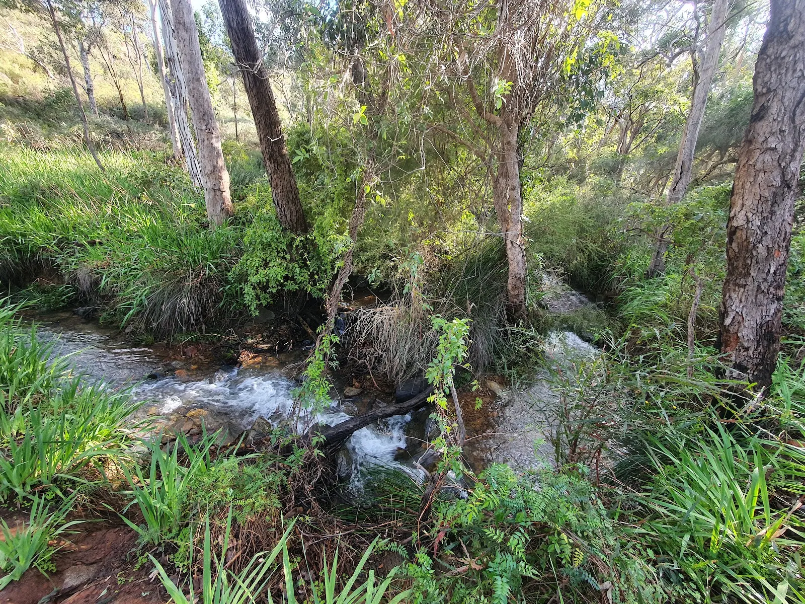
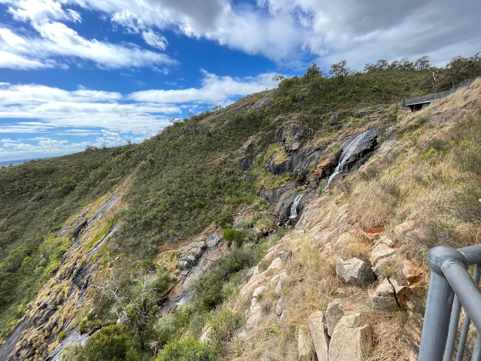
Whistlepipe Gully is the best known dog walk in the Perth foothills: a 3.4 km loop in Mundy Regional Park that follows a creek down through granite and jarrah country, past a run of small waterfalls, with the Perth skyline laid out below. Dogs are welcome on lead, confirmed with the Department of Biodiversity, Conservation and Attractions, which manages the park. Allow an hour to an hour and a half, and do not let the modest distance fool you: the loop drops and climbs enough to earn its moderate grade.
Leash status
On-lead at all times, no exceptions. DBCA's rules for Mundy Regional Park are clear, and the reasoning is practical: the park protects wildlife and the creek is a sensitive catchment, so dogs should stay out of the main watercourse even in summer. Pack waste out with you, because there are no bins along the loop.
The walk and its hazards
The track is rocky in long stretches, with short steep hills, steps and uneven granite through the middle of the circuit, and it gets worse when the creek is running and the stone is wet. Most walkers start at the northern end of Lewis Road in Forrestfield and do the circuit; the alternative start is the western end of Orange Valley Road at Kalamunda, following the City of Kalamunda trail markers with their pink corners. The path narrows in spots and bottlenecks at peak times, which matters if your dog dislikes being crowded past. Little shade on the upper sections means this is not a summer afternoon walk.
Water
The creek runs hardest from about July through to spring and can be dry by late summer. There are no taps at the trailhead, so carry your own water rather than counting on the gully.
Getting there and parking
Take the Welshpool Road East exit from Roe Highway and follow Lewis Road to its northern end, about 35 minutes east of Perth. Parking is a small free gravel lot at the trailhead and it fills fast on weekends; rangers fine for verge parking, so if the lot is full, come back another time. There are no toilets on the loop and public transport is not a practical option.
Max: Shorten the lead through the granite and let me stretch out on the creek flats. The waterfalls are worth every slippery step.
More walks nearby
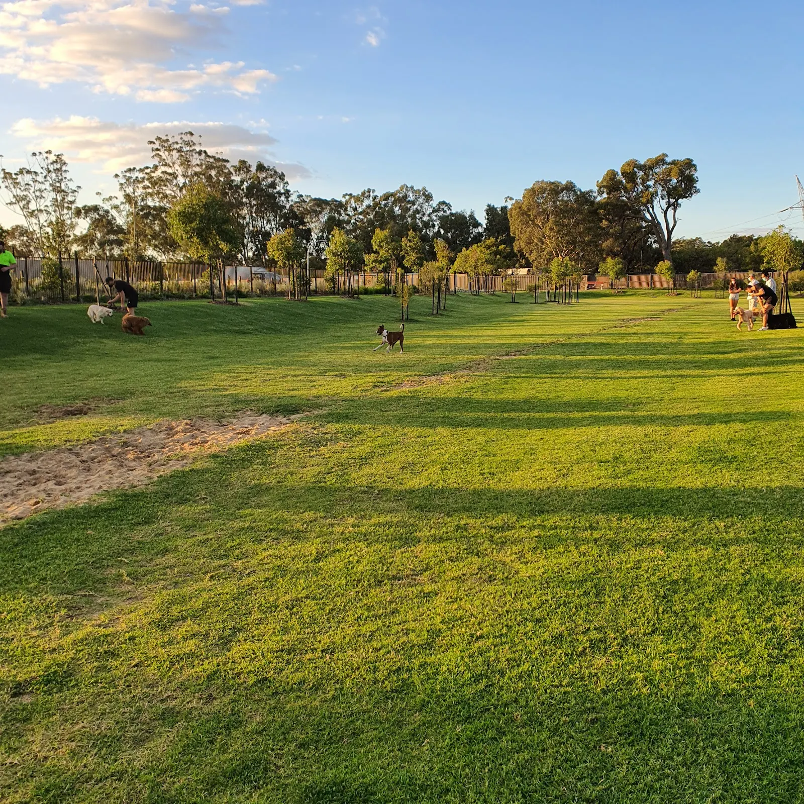
If the gully is crowded, Palm Terrace Walk in the same ranges and the Jorgensen Park Walk at Kalamunda spread the load. For an off-lead run afterwards, The Hales Fenced Dog Park is close by, and Mason and Bird in Kalamunda is a well-timed coffee finish.
When to go
Winter to late spring is the window, when the waterfalls are moving and the wildflowers are out. Weekday mornings and late afternoons are the realistic quiet times; Sunday morning is the busiest slot on the whole calendar. Our guide to dog friendly trails in WA has more Perth Hills walks, and other options around Forrestfield are listed in the destinations guide.
Policy verified 26 July 2026 Always confirm with the venue before you travel.
Nearby with the dogs
 trail Dogs welcome
Whistlepipe Gully Trailhead - Forrestfield
 park Dogs welcome
The Hales Fenced Dog Park
Dog-friendly fenced park in Forrestfield, WA
 trail Dogs welcome
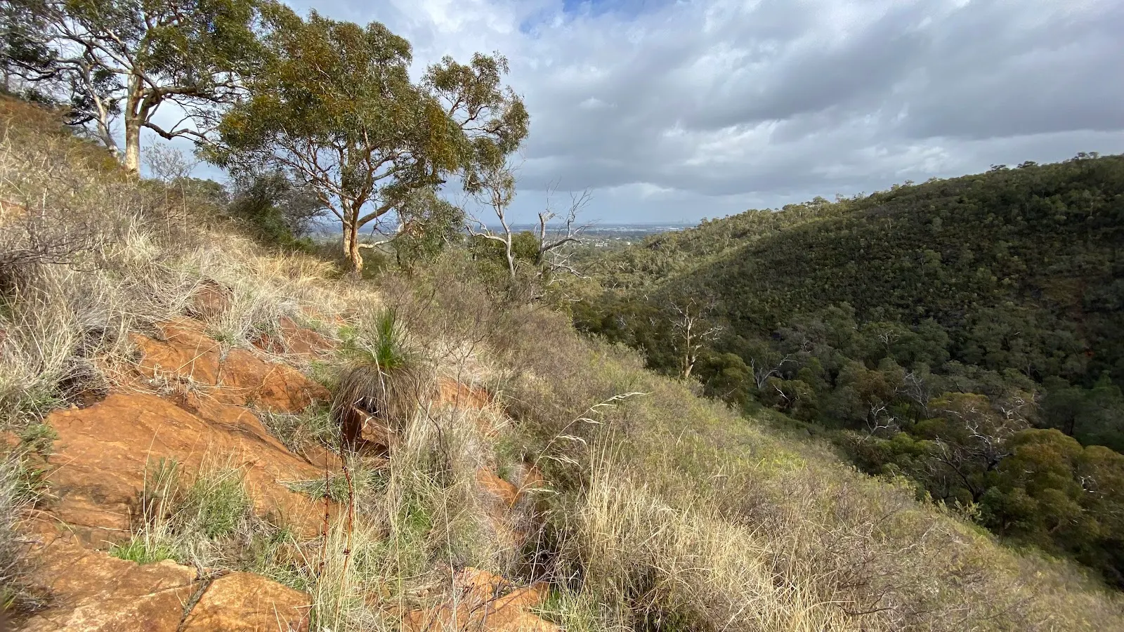
Palm Terrace Walk
 trail Dogs welcome