Churchman's Bushland Circuit
7.4 km, hard walk
The rules at a glance
On-lead welcome
Verified dog-friendly with City of Armadale
Roleystone, WA 6111
Rules verified 26 July 2026
- Dogs
- Welcome
- Where
- Roleystone, WA
- Policy checked
- 2026-07-26
What visitors mention
Pet policy
Dogs are welcome on lead. Policy confirmed with City of Armadale.
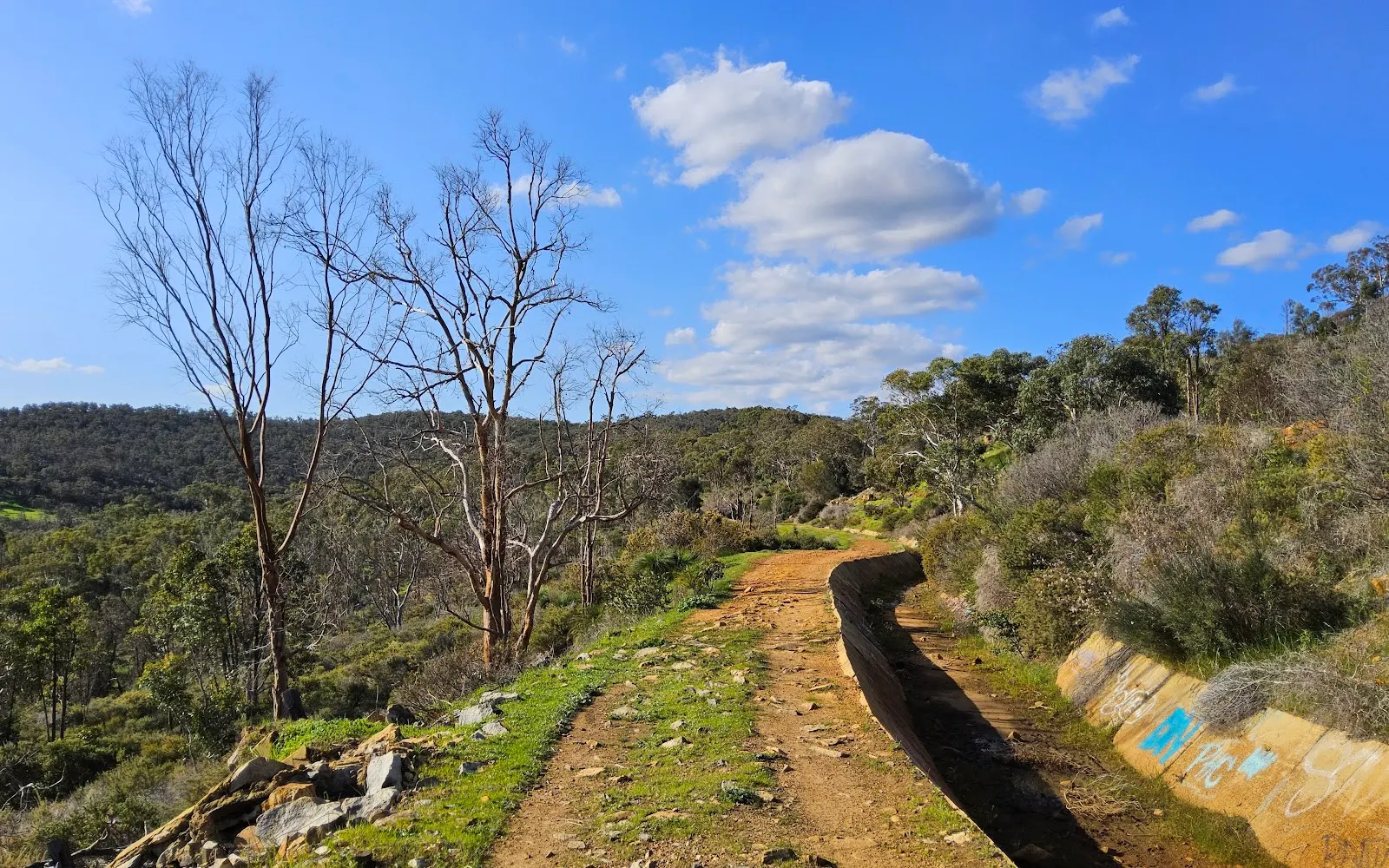
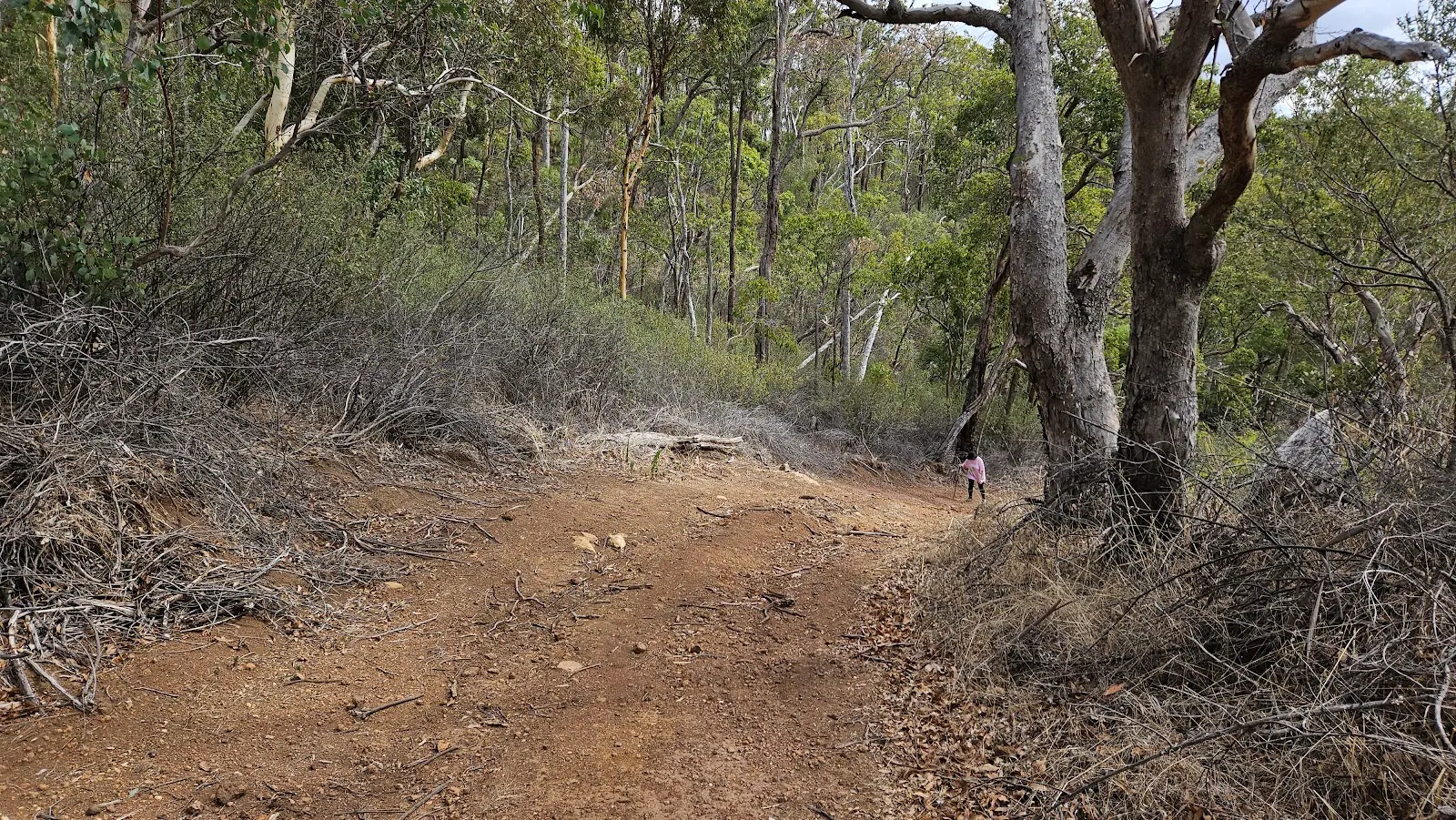
Churchman's Bushland Circuit is a 7.4 kilometre loop through jarrah forest and granite outcrops at the northern end of Wungong Regional Park in Roleystone, on Perth's south-eastern escarpment. It is graded hard, takes most walkers two to two and a half hours, and dogs are welcome on lead for the whole circuit.
The dog setup
On-lead is the rule here, confirmed with the City of Armadale as land manager. The reason is wildlife rather than crowds: the reserve protects native species including black cockatoos, and a leashed dog keeps everyone safe on terrain where a slip matters. There is no fenced section and no off-lead window, so treat the whole loop as a lead walk.
The footing asks a lot of a dog: steep sections, loose gravel and rock scrambling over the outcrops. The cliffs here double as a rock-climbing spot, so give climbers and their ropes a wide berth. This is a walk for a fit, sure-footed dog rather than a first bushwalk.
Max: loose gravel plus a dog pulling ahead is a bad combination on the steep drops. Shorten the lead before the rock sections, not after.
The walk
The circuit mixes forest track with rock hopping and climbs to open lookouts with views over the Canning River valley and across to the city. Locals know one of the climbs as Heartbreak Hill, which tells you most of what you need to know about the gradient. Wildflowers are out from September to November, and the 30-metre climbing cliff known as The Wall is a landmark on the route.
Leash status
On-lead at all times across the reserve.
Water
None on the trail. Carry enough for the full loop for both of you; the exposed rock heats up fast in warmer months.
Hazards
Summer bushfire risk is real on the scarp, so check conditions before setting out in the hot months. Steep grades, loose gravel and rock hopping are the everyday hazards, and there are no bins on site, so carry waste back out with you.
Getting there
Allow 30 to 45 minutes from the Perth CBD via Brookton Highway, then Stocker Road and Beeloo Close. The small free gravel car park at the end of Beeloo Close fits only four or five cars and fills on weekends; overflow parks along Stocker Road. Bus 241 from Kelmscott station gets you to Brookton Highway if you are walking in.
While you're out there
Churchman Brook Dam sits nearby with picnic facilities and open lawns for a cool-down, and the flatter Contour Channel Walk makes a good easier follow-up. The Honeyeater Hike is another Hills option if you are making a day of it.
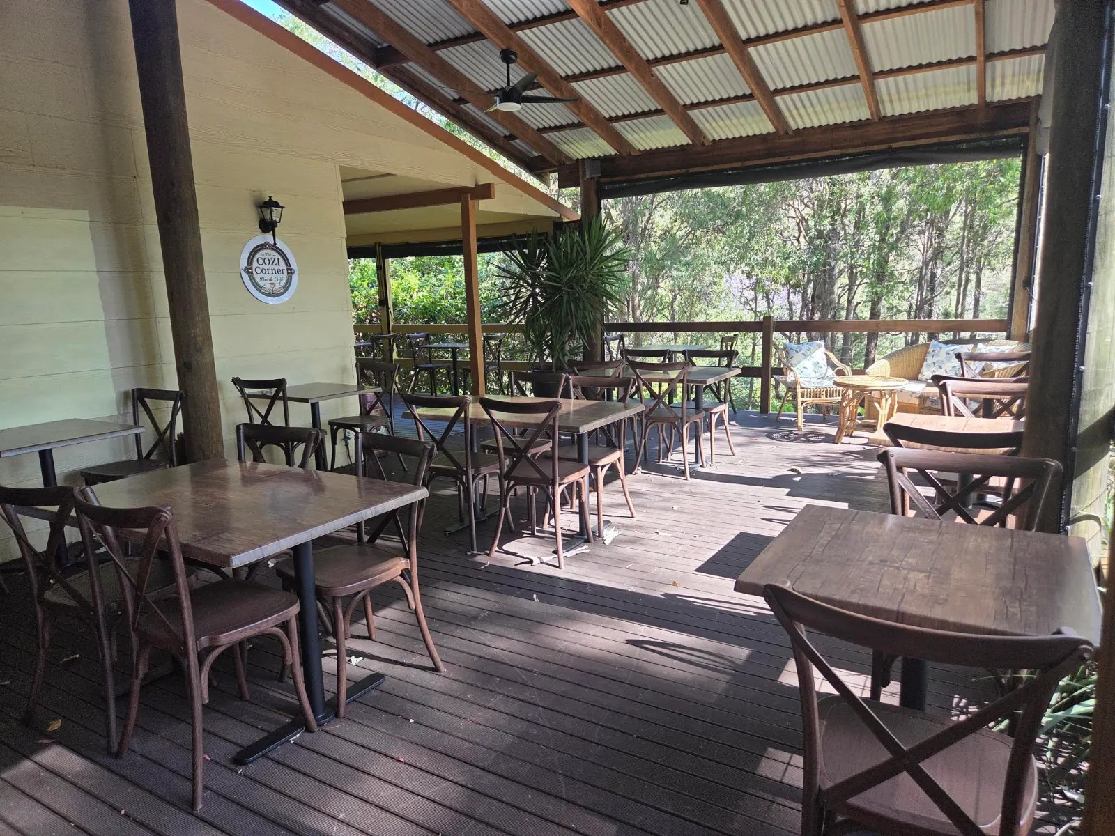
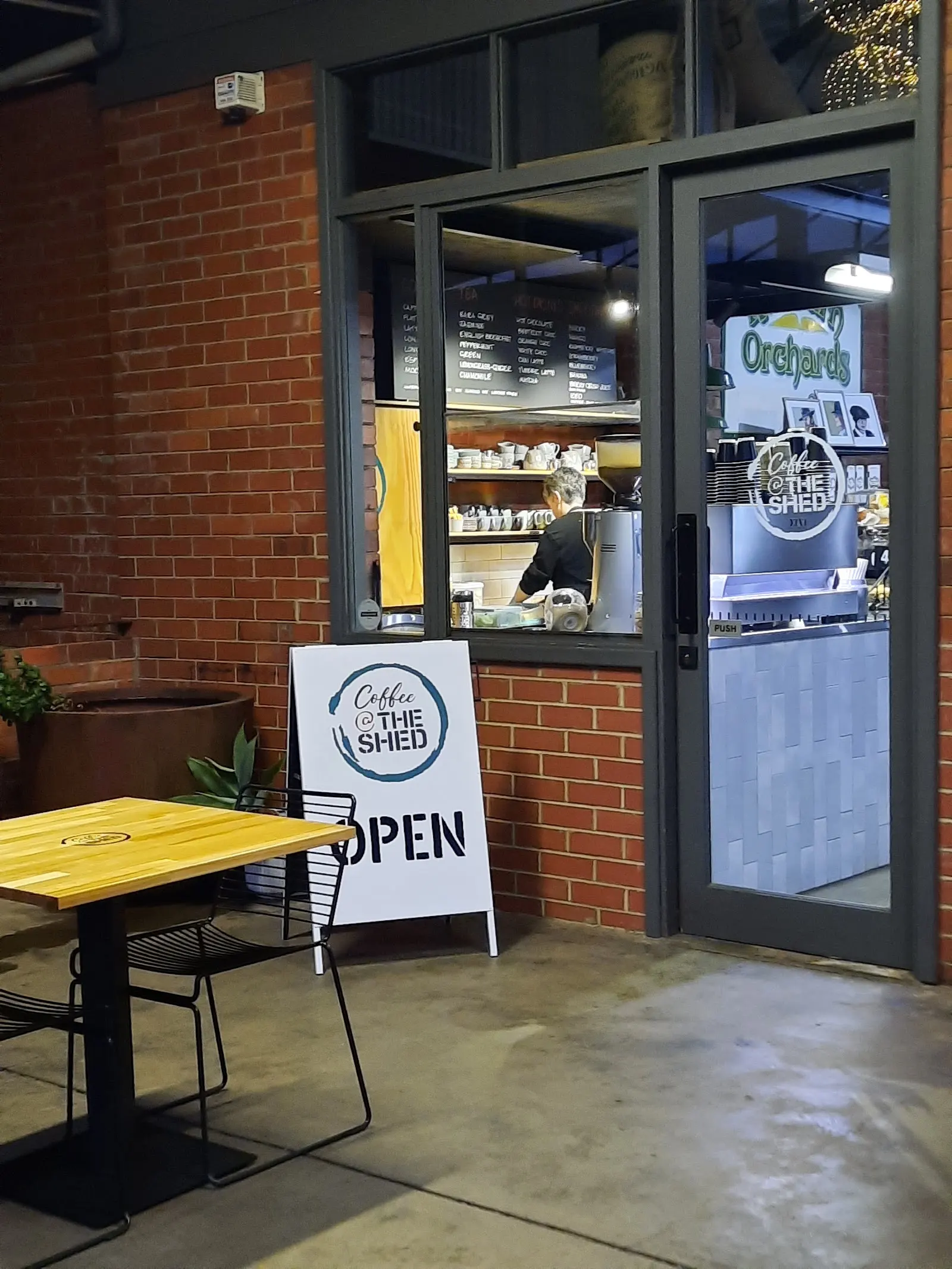
Afterwards, refuel at The Cozi Corner Book Cafe or Coffee @ The Shed, or stay over at The Getaway Roleystone. More routes are in the Western Australia trail guide and the Roleystone destination page.
When to go
Spring brings wildflowers and cooler walking, which suits this trail far better than high summer, when heat and fire risk both climb.
Policy verified 26 July 2026 Always confirm with the venue before you travel.